


Published on May 18, 2026 10:23 am
Last Updated on May 18, 2026 10:23 am

FROM FARMWEEK NOW.COM
Last month was the warmest April recorded in Illinois since 1895 and it brought severe weather with it, according to Illinois State Climatologist Trent Ford at the Illinois State Water Survey, Prairie Research Institute.
Prolonged periods of warmth broke 29 daily high maximum temperature records and broke 167 daily high minimum temperature records for the month. Eight places broke all-time April high minimum temperature records, including a 70-degree low in Mt. Vernon and a 68-degree low in Peoria.
April average temperatures ranged from the mid-50s in northern Illinois to the mid-60s in southern Illinois, between 4 and 9 degrees above normal. The preliminary statewide average April temperature was 58.6 degrees, 5.8 degrees above the most recent 30-year average.
Illinois had 108 tornadoes in the first four months of 2026. The state has averaged around 60 tornadoes per year, by comparison, over the past 30 years. Mississippi is the next most tornado-active state this year with 61.
This is the third consecutive year with more than 100 tornadoes in Illinois, continuing a remarkably active period of severe weather.
Multiple rounds of heavy rain across northern Illinois and southern Wisconsin caused widespread flooding on several rivers. The Fox River at Algonquin reached a peak of 12 feet for the first time since 2017.
Meanwhile, the wet weather in central Illinois continued the region’s drought recovery. The U.S. Drought Monitor removed all drought indicators from the region by the end of the month.
Last month was the wettest April on record in Freeport with 8.92 inches, a full inch above the previous wettest April in 2013.
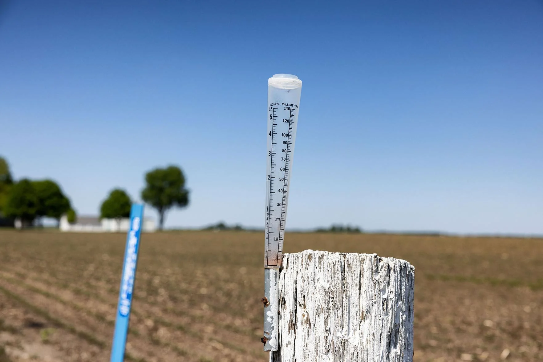
April total precipitation ranged from around 2.5 inches in far southern Illinois to more than 12 inches in northwest Illinois. April was 1 to 3 inches drier than average in far southern Illinois and was 1 to 8 inches wetter than normal in most places north of Interstate 70.
The preliminary statewide total April precipitation was 6.37 inches, 2.19 inches above the most recent 30-year average, and the eighth-wettest April on record statewide.