Published on September 5, 2025 1:53 pm
Last Updated on September 5, 2025 2:33 pm
BY RHIANNON BRANCH FarmWeek
The summer of 2025 will go down in the record books as an uncomfortably humid one.
“Most areas south of I-64 spent anywhere between 50 and 70% of the entire summer with a dew point over 70 (including overnight),” Sate Climatologist Trent Ford told FarmWeek. “That is the most on record, surpassing 2010, which folks will probably remember was a pretty humid summer as well.”
Temperatures statewide averaged about 2 degrees above normal for climatological summer (June, July and August) unofficially making it the 11th warmest summer on record in Illinois (official rankings from the National Oceanic and Atmospheric Administration were not released as of press time).
Ford said there weren’t many days or areas that saw temperatures over 100 degrees, but humidity boosted nighttime temperatures about 4 degrees higher than normal.
“The persistent high humidity and very, very warm nights -that was really the calling card for this season,” he said.
Summer precipitation was a mixed bag depending on the month and region of the state.
August rainfall ended about 1.7 inches below normal statewide, unofficially making it the ninth driest on record. It came out as the driest August on record in Carbondale, Mt. Vernon, Charleston and Centralia and the second driest in Springfield and Effingham, causing some flash drought in southern Illinois.

“Carbondale had two hundredths of an inch the entire month making it the third driest of any month going back to late 1800s,” Ford noted.
But north of I-80 most areas were wetter than normal in August, including parts of Will County that received more than 10 inches of precipitation.
Rain in June and July largely contributed to the 13 inches of rain Illinois received over the summer, which was about 0.75 inches above normal, but Ford said in most areas the rain came over a short period of time.
“Northern Illinois got largely missed in June, but hit in July and August. Southern Illinois got nailed in May and June, but then got completely missed in August,” Ford said.
A triangle area from Bloomington to Champaign to Decatur missed a lot of rain this year. Champaign had about 19 inches from January to August, compared to 30 inches in an average year.
“The first eight months of the year are the driest start to any year in Champaign since 1988 and mentioning that year will bring up some pretty nasty memories for some folks,” Ford said. “Champaign did get a good amount of July rainfall that saved the crop from being a real problem, but that gives you an idea of how dry we are in east central Illinois.”
The Sept. 4 release of the U.S. Drought Monitor showed 63% of the state, including most of central and southern Illinois, is abnormally dry with 14% in moderate drought, centered around Champaign and Douglas counties in the east and Perry and Washington counties in the south. Portions of Champaign and Piatt counties entered the severe drought stage.
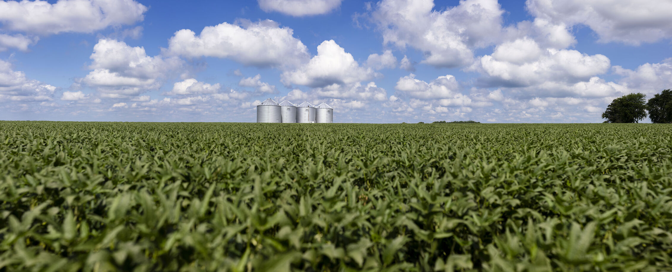
Ford said inconsistent rainfall this season has contributed to crop conditions varying, not only from county to county but also from field to field. And August weather did not provide any favors.
“When we came into the beginning of August, for most of the Corn Belt, it did look like a very good if not bumper crop,” Ford said. “I haven’t talked with anybody who thinks it will be a terrible crop, but when your expectations are bin busting and you get trend line or just a little bit below, it certainly can be disappointing.”
As of Sep. 2, USDA rated Illinois corn 8% very poor, 9% poor, 43% fair, 28% good and 12% excellent, with soybeans considered 9% very poor, 13% poor, 25% fair, 41% good and 12% excellent. USDA reported 15% of corn was mature and 16% of soybeans were dropping leaves.
As harvest begins, Ford said there likely won’t be many weather-related delays.
“The first half of September is going to be like the last half of August. We’re going to be a little bit cooler and we’re going to be drier,” he said. “That verifies we’ll probably have a pretty quick start to harvest.”
Mid-month could return to above average temperatures and better chances for above normal precipitation.
“Given how dry it’s been, even if you catch an inch of rain, that’s going to soak in really quick and it’s not going to keep a lot of folks out of the field,” Ford noted.


