


Published on April 29, 2026 11:27 am
Last Updated on April 29, 2026 11:27 am
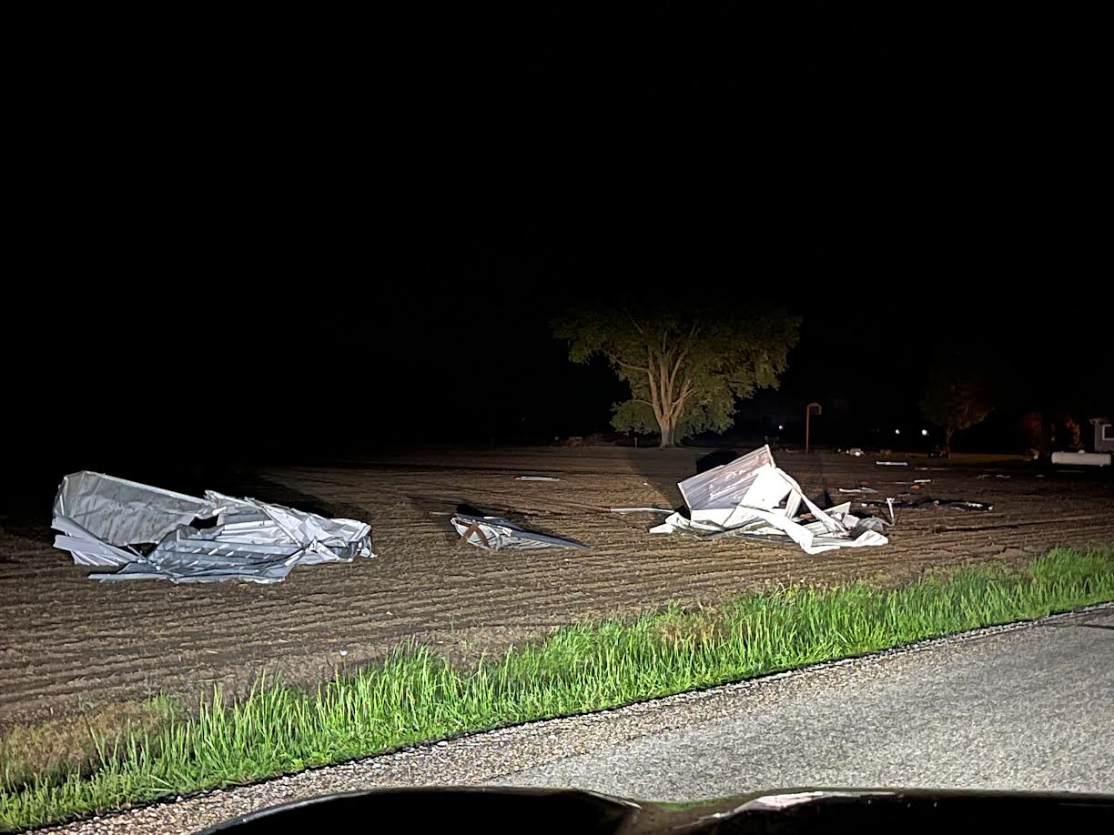

An extended period of severe weather impacted central and southeast Illinois on Monday, April 27th.
The first wave moved through during the morning hours, and by early afternoon, the storms were just north of I-70. This period of severe weather produced scattered areas of wind damage, along with a number of large hail reports and even a funnel cloud along I-70 near Casey. There was also some flash flooding along the I-72 corridor.
Mid to late afternoon, additional severe storms rapidly developed across Missouri and west central Illinois, forming into a line that quickly moved east past the I-55 corridor. The storms reached I-70 between 8-9 pm and had largely moved out of the area by 11 pm. The severe weather during this period was concentrated near and south of I-72/Danville, and produced tornadoes from southeast of Lincoln to northwest of Champaign. Additional heavy rain resulted in flash flooding from near Decatur southeast to Effingham.