


Published on January 24, 2026 4:58 pm
Last Updated on January 25, 2026 8:08 am
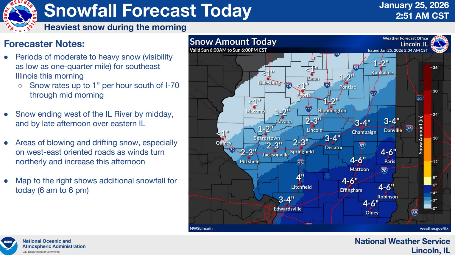

The National Weather Service continues with a Winter Storm Warning for the entire listening area, with the ending of the Warning revised to be 6:00 PM Sunday.
Heavy snow is expected. Additional snow accumulations between 3 and 8 inches can be expected.
The Weather Service warns that travel could be very difficult. Blowing and drifting snow will be possible today especially in rural areas.
They advise that if you must travel, to keep an extra flashlight, food, and water in your vehicle in case of an emergency.
In addition, an Extreme Cold Warning will be in effect from Sunday Night at Midnight until Monday at Noon. Dangerously cold wind chills as low as 24 below zero are expected. These conditions could cause frostbite on exposed skin in as little as 30 minutes.
Dress in layers including a hat, face mask, and gloves if you must go outside.

The latest road conditions can be viewed at this link: https://www.gettingaroundillinois.com/WinterConditions/index.html